The Istanbulkart — Your Essential Card
The Istanbulkart is a rechargeable transit card that works on every form of public transport in Istanbul — metro, tram, bus, ferry, Marmaray, and funicular. Individual fares are cheaper with the card than paying cash.
Where to buy:
- Yellow kiosks at metro/tram stations and ferry terminals
- Cost: ~$2 for the card + whatever you load
- Top up at the same kiosks or inside stations
How it works: Tap at the turnstile or reader when boarding. Transfers within a time window are discounted. One card can be shared (tap once per person).
Metro
Istanbul's metro network is modern, clean, and expanding. Key lines:
| Line | Route | Useful For |
|---|---|---|
| M2 | Yenikapı – Taksim – Levent – airport bus connections | Getting to/from Taksim, business districts |
| M7 | Mecidiyeköy – Mahmutbey – connects to M11 | Airport connections, northern suburbs |
| M11 | Istanbul Airport – Kağıthane | Airport to city (requires M7 transfer) |
| Marmaray | Crosses under the Bosphorus (Ayrılık Çeşmesi – Kazlıçeşme) | Europe ↔ Asia crossing underground |
Operating hours: Roughly 06:00–00:00 (midnight). Frequency every 3–8 minutes during peak hours.
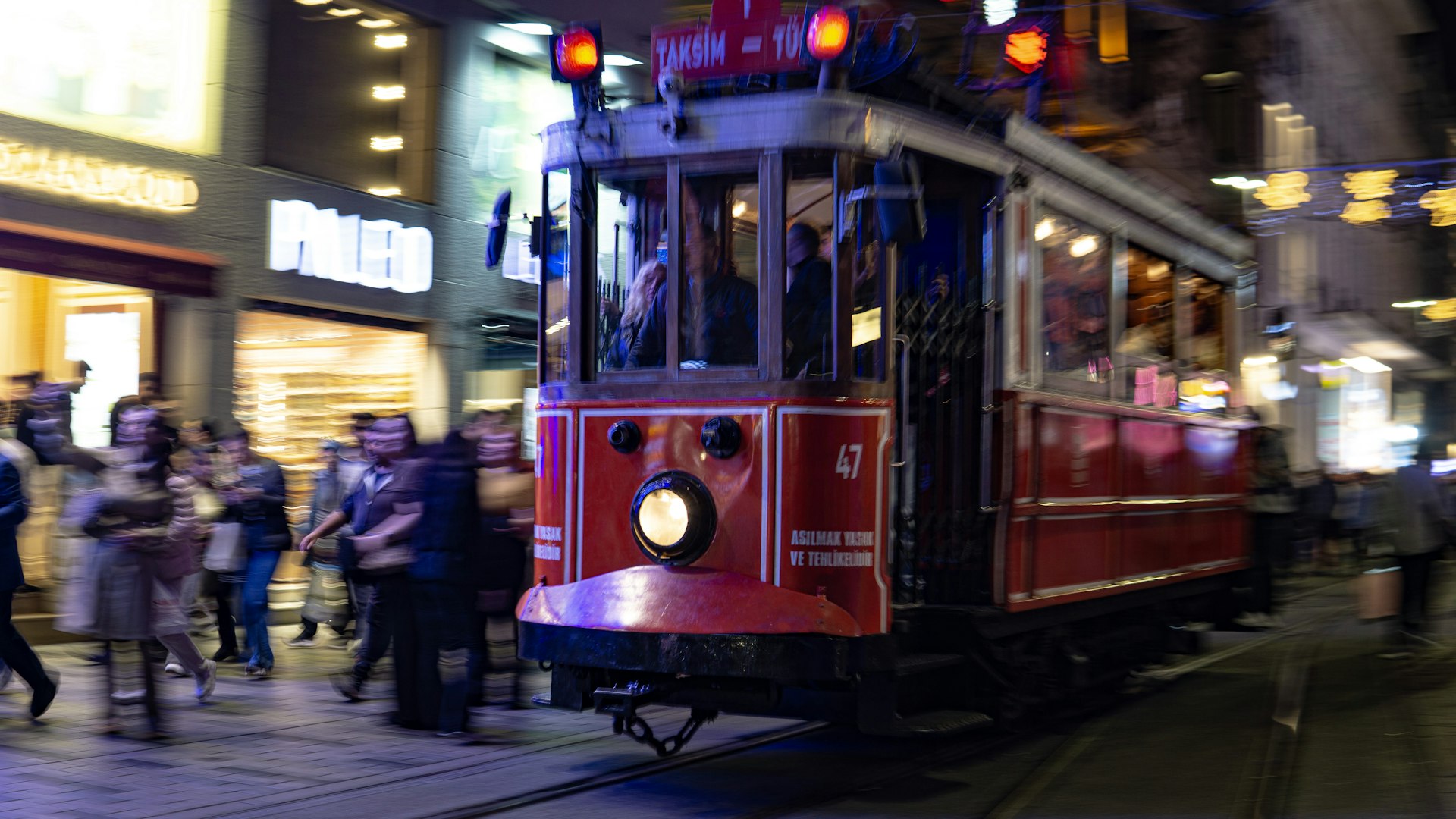
Tram (T1 Line)
The T1 tram is the most useful single line for tourists:
Route: Kabataş → Karaköy → Eminönü → Sultanahmet → Grand Bazaar → Zeytinburnu
This one line connects the major tourist areas, ferry terminals, and the Sultanahmet historic district. Runs every 3–5 minutes during the day.
Ferry
Ferries are Istanbul's best-kept transport secret — fast, scenic, and cheap with an Istanbulkart.
Key routes:
- Eminönü → Kadıköy (20 min) — The classic crossing to the Asian side
- Eminönü → Üsküdar (15 min) — Quick hop to the Asian shore
- Kabataş → Kadıköy (20 min) — From near Taksim to the Asian side
- Eminönü → Anadolu Kavağı (90 min) — The full Bosphorus cruise route
Cost: $0.25–$0.50 with Istanbulkart per ride. The full Bosphorus cruise ferry is slightly more.
Tip: Ferries are the most enjoyable way to travel in Istanbul. Grab a tea from the onboard vendor and enjoy the views.
Bus
An extensive bus network covers areas the metro and tram don't reach (Balat, Beşiktaş, many neighborhoods). Useful but can be slow in traffic.
- Pay with Istanbulkart (tap when boarding)
- Google Maps and Moovit apps show real-time bus routes
- Metrobus — A dedicated bus lane system that runs along the main highway. Faster than regular buses, connects Asian and European sides via the bridge. Can be very crowded during rush hour.
Funiculars
Two short funicular lines connect steep uphill areas:
- F1: Kabataş → Taksim (connects tram to metro)
- F2: Karaköy → Beyoğlu/Tünel (connects waterfront to Istiklal Avenue)
Both take about 2 minutes. Pay with Istanbulkart.
Taxis
Taxis are plentiful but come with a reputation for scams. See our scams guide for details.
Tips:
- Always insist on the meter
- Use BiTaksi app — shows route, fare estimate, and driver rating
- Short rides within central areas: typically $1.50–$4
- Bridge-crossing rides (Europe ↔ Asia by road): $4–$8
- Avoid taxis that cruise for passengers — go to official taxi ranks (yellow signs)
Getting Between Key Areas
| From → To | Best Option | Time | Cost |
|---|---|---|---|
| Sultanahmet → Taksim | T1 tram + F1 funicular | 25 min | $0.25–$0.75 |
| Sultanahmet → Kadıköy | Walk to Eminönü + ferry | 30 min | $0.25–$0.50 |
| Taksim → Kadıköy | Walk to Kabataş + ferry | 25 min | $0.25–$0.50 |
| Sultanahmet → Grand Bazaar | T1 tram (2 stops) or walk | 10–15 min | Free–$0.25 |
| European → Asian side | Ferry (scenic) or Marmaray (fast) | 15–25 min | $0.25–$0.50 |
Tips for Getting Around
- Walking is underrated — Sultanahmet, Karaköy, and Beyoğlu are all within walking distance of each other (20–30 minutes between any two)
- Google Maps works well for public transport routing
- Rush hours (07:30–09:30, 17:00–19:30) make metro and Metrobus very crowded
- Don't rely solely on taxis — public transport is cheaper, often faster, and avoids traffic